Presentada por
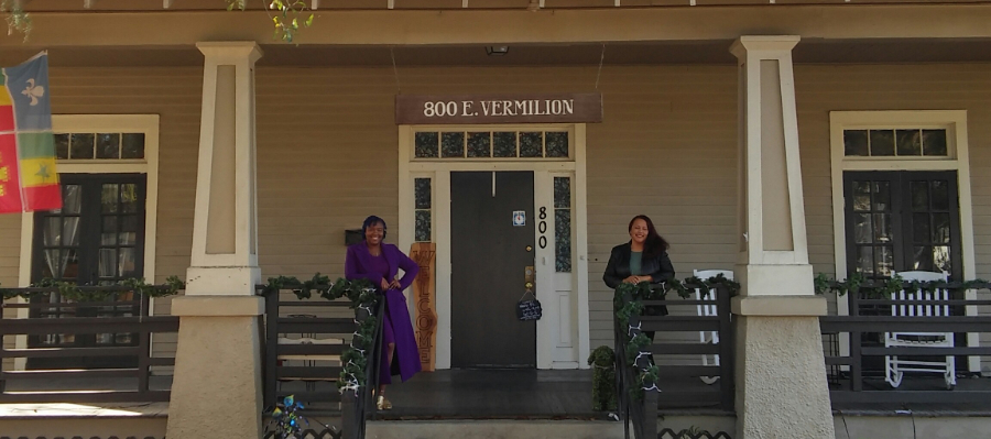
Preservation Alliance of LafayetteWelcome to Maison Freetown-Port Rico Historic District. Spot places that have marked the history of Freetown and discover the lives of exceptional individuals who have lived there throughout time. Many of Louisiana's first so-called "free" people of color settled in this neighborhood, even before the Civil War of 1861-1865. According to the 1850 census, there were 149 officially free colored people living here.
ON LOCATION
Discover all the points of interest at your own pace, according to your own interests. The interactive map lets you locate points of interest, view your position in real time and access each story on demand. It also includes a suggested itinerary to get you off the beaten track.
The BaladoDiscovery application is suggested (rather than the website). This way provides a better experience and is essential if you don't have an on-site data package. All tour content will be accessible without an Internet network if you use the application's preload option (where wifi is available) before setting out on your walk.
CONTEXT
The Freetown-Port Rico Historic District is known from its earliest days as Freetown or Mouton Addition. It has always been home to many African Americans along with some Acadians (Cajuns), Jewish, Lebanese, and Spanish residents. Through the Post-Reconstruction and Jim Crow eras, when racial tensions led to conflict and violence throughout Louisiana, the Freetown-Port Rico area stood out as a richly multicultural area in which residents of diverse backgrounds found ways to support each other and establish a strong community. Along with residences, businesses, religious facilities, a social hall, a Mardi Gras Parade, it had sidewalks and an infirmary that embody the dynamic social history, ethnic heritage, and community development of Freetown-Port Rico.
Developed as a residential subdivision in the early 1880s, Freetown – Port Rico is primarily a neighborhood where specialty stores, churches, a hospital, industrial facilities, restaurants, logging and recreational space all existed when everywhere else in Louisiana, except New Orleans, there were few. The extant buildings reflect nearly the full span of development with the earliest dating to the 1890s. Building lots are modest in size with buildings typically set close to the front of the lot. Late-nineteenth century to early-twentieth century side gable cottages and bungalows are the dominant building forms.
Freetown comes out of Île Copal Plantation. From this large track of land belonging to Governor Alexandre Mouton's large Île Copal or Sweet Gum Grove Plantation which extended on both sides of Bayou Vermilion. The mansion, brick sugar mill and slave quarters, were on the west river bank (this side of the bayou). The estate included 2,100 improved acres and 18,140 unimproved acres. The mansion shown here was located near the current Le Rosen School at the corner of Pinhook and the Evangeline Thruway. The mansion was once the school run by Paul Breaux, the Tuskegee educated Creole of Color principal. In the picture above, the mansion is used as a school for People of Color around 1929.
CREDITS
Main photo: Freetown Port Rico Museum
Many thanks to University of Louisiana at Lafayette; Dr C. Ray Brassieur for his patience and tolerance for all my questions. Lafayette Consolidated Government; Philippe Gustin and Christophe Pilut, and Lafayette Parish Clerk of Court, Louis Perret.
Comentarios
Freetown-Port Rico